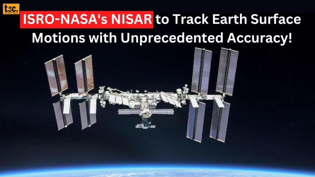
ISRO-NASA’s Game-Changing Collaboration, NISAR to Track Earth Surface Motions with Unprecedented Accuracy!

The Indian Space Research Organisation (ISRO) and the National Aeronautics and Space Administration (NASA) are collaborating on a groundbreaking mission to launch the NASA-ISRO Synthetic Aperture Radar (NISAR) satellite. This cutting-edge satellite will enable humans to track Earth’s surface motions with unprecedented accuracy, down to fractions of an inch. In this blog, we will delve into the features, applications, and benefits of the NISAR satellite.
What is NISAR?
NISAR is a dual-frequency radar satellite that will measure the motion of the Earth’s surface, providing valuable insights into climate change, earthquake-prone areas, and volcanic activity. The satellite is equipped with L-band and S-band radar systems, built by NASA and ISRO, respectively.
These instruments enable the collection of measurements during both day and night and can even see through clouds using the L-band. Before proceeding further, take a look at: ITBP Recruitment 2024: Apply Now for 526 SI, Constable, and Head Constable Vacancies! Read All the Details Here!
Key Features of NISAR
Some of the key features of NISAR include:
- High-Resolution Imaging: NISAR will provide high-resolution images of Earth’s surface, enabling researchers to track changes in land cover, land use, and vegetation.
- Dual-Frequency Radar: The satellite’s dual-frequency radar system allows it to penetrate dense vegetation and clouds, providing accurate measurements.
- Global Coverage: NISAR will measure the motion of the entire planet’s land and ice-covered surface every 12 days.
- Accuracy: NISAR’s accuracy will be unprecedented, tracking surface motions down to fractions of an inch.
Earthquake Prediction and Monitoring
One of the primary applications of NISAR is earthquake prediction and monitoring. While It won’t predict earthquakes, it will:
- Identify Susceptible Areas: NISAR will identify areas prone to seismic activity, enabling researchers to focus on high-risk zones.
- Detect New Earthquake-Prone Areas: The satellite will detect new earthquake-prone areas in unmonitored regions.
- Monitor Himalayan Plate Boundary: ISRO’s Solid Earth Science Lead, Sreejith K M, emphasizes the importance of monitoring the Himalayan plate boundary, which has produced significant earthquakes in the past.
Do not miss out on reading: No Syllabus Reduction or Open-Book Exams for Class 10 and 12 Board Exams 2025: CBSE Board Exams 2025!
Volcanic Activity and Land Movement
NISAR will also detect land movements prior to volcanic eruptions, providing valuable insights into:
- Deformation Patterns: NISAR will track deformation patterns, helping scientists understand why volcanoes deform.
- Signs of Eruption: The satellite will identify potential signs of eruption, enabling early warnings.
- Volcanic Activity Monitoring: NISAR will monitor volcanic activity globally, providing critical data for researchers.
Additional Applications
NISAR’s applications extend beyond earthquake and volcanic monitoring:
- Climate Change Research: NISAR will track changes in glaciers, ice sheets, and sea ice.
- Vegetation Mapping: The satellite will map vegetation changes and understand climate impacts.
- Infrastructure Monitoring: NISAR will monitor structures like levees, aqueducts, and dams.
Cast your eyes on: CBSE Board Exam 2025! Practical Exams from January 1, Theory Papers from February 15! Read More Details Here!
Benefits of NISAR
The benefits of NISAR are numerous:
- Improved Disaster Preparedness: NISAR’s data will enable better disaster preparedness and response.
- Climate Change Mitigation: The satellite’s data will inform climate change mitigation strategies.
- Scientific Research: NISAR will provide valuable data for researchers, advancing our understanding of Earth’s surface dynamics.
Conclusion
The NISAR satellite represents a significant leap forward in Earth observation and monitoring. With its unprecedented accuracy and comprehensive data, It will empower researchers, policymakers, and scientists to make informed decisions about our planet’s future.
Read More- Union Education Minister Announces Entrance Exam Reforms: A Step Towards Zero-Error Tests!
As we continue to explore the vast possibilities of space, collaborations like ISRO-NASA mission remind us of the importance of international cooperation in advancing our understanding of Earth and the universe.
if any official information pops up then we will update you in minutes! If you want all the latest updates on time then join our student community on WhatsApp!
Choose the right career for you by booking personal guidance from professionals on Mytagapp.com!


